Part 1 - Where is Africa located in the world?
Let’s begin the Story of Africa by describing and locating the continent in the world.

The following information comes from Britannica.com/Africa
What is Africa?
Africa is the second-largest continent (after Asia) with a total land area of approximately 30,365,000 square kilometres (11,724,000 square miles), and covers about one-fifth of Earth's land surface.
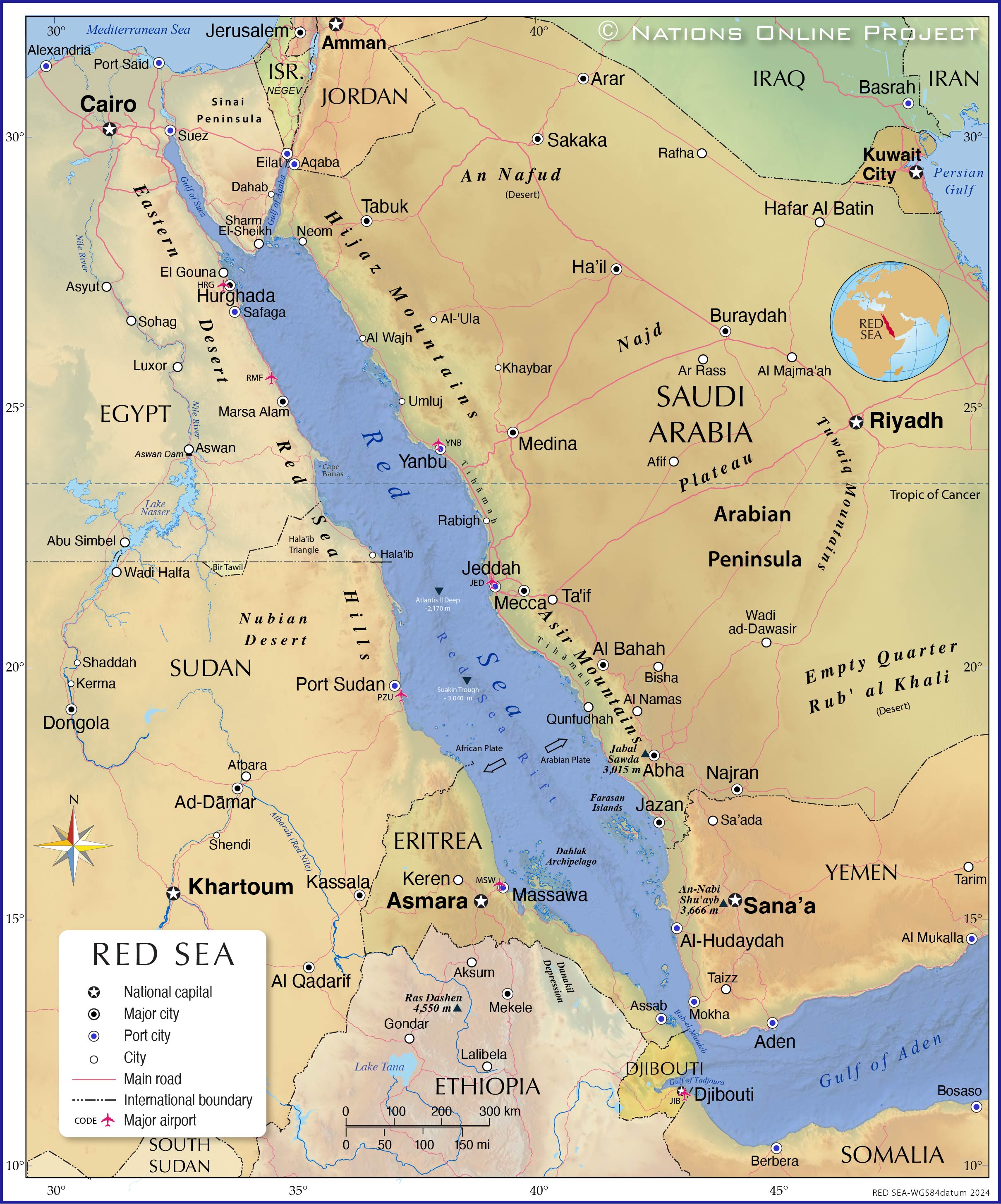
Africa was joined to Asia in the northeast by the Sinai Peninsula until the construction of the Suez Canal.
Because of the bulge formed by Western Africa, the greater part of Africa’s territory lies north of the Equator. Africa is crossed from north to south by the prime meridian (0° longitude), which passes a short distance to the east of Accra, Ghana.
The continent measures about 8,000 kilometres (5,000 miles) from north to south and about 7,400 kilometres 4,600 miles) from east to west. Its northern extremity is Al-Ghīrān Point, near Al-Abyaḍ Point (Cape Blanc), Tunisia; its southern extremity is Cape Agulhas, South Africa; its farthest point east is Xaafuun (Hafun) Point, near Cape Gwardafuy (Guardafui), Somalia; and its western extremity is Almadi Point (Pointe des Almadies), on Cape Verde (Cap Vert), Senegal.
Off the coasts of Africa a number of islands are associated with the continent: of these, Madagascar, the fourth largest island in the world, is the most significant.
Other, smaller islands include the Seychelles, Socotra, and other islands to the east; the Comoros, Mauritius, Réunio
The continent is almost equally divided by the Equator, placing about four-fifths of its territory between the Tropic of Cancer in the north and the Tropic of Capricorn in the south. This makes Africa the most tropical of all the continents.
Paradoxically, the coastline of Africa— 30,500 kilometres (18,950 miles ) in length—is shorter than that of Europe, because there are few inlets and few large bays or gulfs.
 |
|
Globe showing the extreme points of Africa Source: Satellite imagery from NASA World Wind Author: Júlio Reis |
- N (northern): Ras ben Sakka, Tunisia
- S (southern, continental): Cape Agulhas, South Africa
- S' (southern, insular): Marion Island, South Africa
- E (eastern, continental): Ras Hafun, Somalia
- E' (eastern, insular): Rodrigues, Mauritius
- W (western, continental): Cap Vert, Senegal
- W' (western, insular): Santo Antão, Cape Verde
- H' (highest): Kilimanjaro, Tanzania (5.895 metres altitude)
- L (lowest) : Lake Asal, Djibouti (155 metres below sea level)
Where is Africa located in the world?
 |
| Map of the Red Sea |